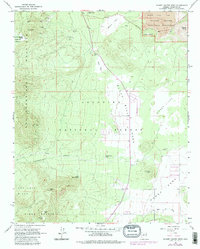
1966 Map of Sunset Crater West
USGS Topo · Published 1983About this map
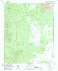
Volcanic activity and high-altitude basins define this landscape on the eastern slopes of the San Francisco Peaks. Sunset Crater National Monument occupies the northeast corner, showcasing the dramatic Bonito Lava Flow, the prominent Sunset Crater, and a subterranean Ice Cave. To the west, the terrain rises sharply toward San Francisco Mountain, where Lockett Meadow sits at the edge of the Interior Valley. The map records a mix of natural resource extraction and early residential expansion, with several Pumice Pits and a Gravel Pit located near the base of Sugarloaf. In the southern reaches, the emerging community of Doney Park begins to take shape along the Rio de Flag, while landmarks like Old Caves Crater and Little Elden Mtn break the relatively level plains of the parklands.
Find a feature on this map
35 named features on this map. Tap any name to fly to it.
Don’t see what you’re looking for? This feature index may not catch every label — zoom into the map to look around manually.
Map Details
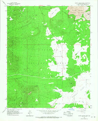
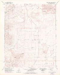
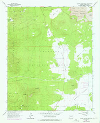
Editions of this 1966 Sunset Crater West Map
5 editions found
Other maps of this area

1886 · San Francisco Mtns
USGS Topo · 1:250,000

1891 · San Francisco Mtns
USGS Topo · 1:250,000

1894 · San Francisco Mtns
USGS Topo · 1:250,000

1899 · San Francisco Mtns
USGS Topo · 1:250,000

1908 · Flagstaff
USGS Topo · 1:125,000

1912 · Flagstaff
USGS Topo · 1:125,000

1947 · Flagstaff
USGS Topo · 1:250,000

1954 · Flagstaff
USGS Topo · 1:250,000

1958 · Flagstaff
USGS Topo · 1:250,000

1960 · Flagstaff
USGS Topo · 1:250,000