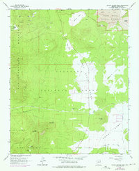
1966 Map of Sunset Crater West
USGS Topo · Published 1976About this map
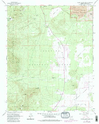
Sunset Crater National Monument dominates the northeast corner of this mid-1960s landscape, where the dark expanse of the Bonito Lava Flow and the heights of Lenox Crater showcase a stark volcanic geology. The land transitions from these cinder-covered elevations into the broad, open meadows of Black Bill Park and Doney Park to the south. Human activity in this portion of the Coconino National Forest is evidenced by several industrial sites, including a Pumice Pit and various gravel operations, alongside ranching or livestock markers like Jack Smith Tank and Government Tank. The southern portion of the sheet is defined by the rugged slopes of Elden Mountain and the watercourse of the Rio de Flag. Geologists and local historians can trace the relationship between the dramatic terrain of Weatherford Canyon and the emerging infrastructure of the era, such as the long Pipeline cutting across the central plains.
Find a feature on this map
32 named features on this map. Tap any name to fly to it.
Don’t see what you’re looking for? This feature index may not catch every label — zoom into the map to look around manually.
Map Details
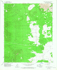
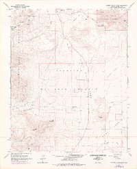
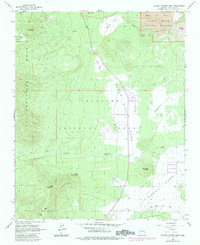
Editions of this 1966 Sunset Crater West Map
5 editions found
Other maps of this area

1886 · San Francisco Mtns
USGS Topo · 1:250,000

1891 · San Francisco Mtns
USGS Topo · 1:250,000

1894 · San Francisco Mtns
USGS Topo · 1:250,000

1899 · San Francisco Mtns
USGS Topo · 1:250,000

1908 · Flagstaff
USGS Topo · 1:125,000

1912 · Flagstaff
USGS Topo · 1:125,000

1947 · Flagstaff
USGS Topo · 1:250,000

1954 · Flagstaff
USGS Topo · 1:250,000

1958 · Flagstaff
USGS Topo · 1:250,000

1960 · Flagstaff
USGS Topo · 1:250,000