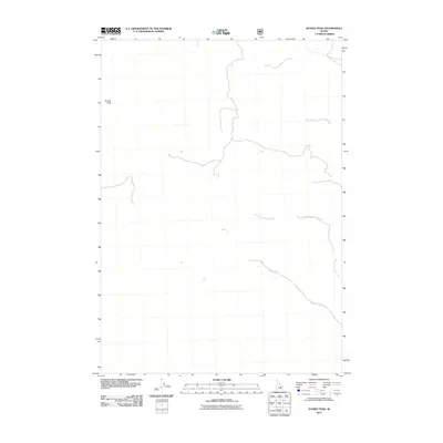
2011 Map of Sunset Peak
USGS Topo · Published 2011About this map
Sunset Peak stands as a prominent landmark in this high-altitude corner of Idaho, overlooking a landscape defined by its remote drainages. The hydrology of the area is centered on the southeastward flow of Cabin Fork and its tributary, the North Fork Cabin Fork. This 2011 survey illustrates a territory primarily characterized by its topographical relief and limited human infrastructure, showing only a few established roads and forest service routes. The absence of settlements or named structures highlights the wilderness character of this portion of Butte County, where the elevation and drainage patterns dictate the primary landmarks for those navigating the backcountry.
Find a feature on this map
3 named features on this map. Tap any name to fly to it.
Don’t see what you’re looking for? This feature index may not catch every label — zoom into the map to look around manually.
Map Details
Editions of this 2011 Sunset Peak Map
This is the sole edition of this map. No revisions or reprints were ever made.
Other maps of this area

1955 · Dubois
USGS Topo · 1:250,000

1955 · Idaho Falls
USGS Topo · 1:250,000

1957 · Diamond Peak
USGS Topo · 1:62,500

1957 · Hawley Mountain
USGS Topo · 1:62,500

1958 · Dubois
USGS Topo · 1:250,000

1958 · Idaho Falls
USGS Topo · 1:250,000

1969 · Darlington
USGS Topo · 1:24,000

1969 · Arco Pass
USGS Topo · 1:24,000

1969 · Ramshorn Canyon
USGS Topo · 1:24,000

1969 · Howe NW
USGS Topo · 1:24,000