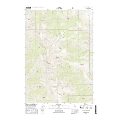
2017 Map of Sunset Peak
USGS Topo · Published 2017About this map
The Lost River Range dominates this portion of Challis National Forest, where high-elevation summits and a network of deep drainages define the interior of Butte County. Rising above the complex topography, Sunset Peak serves as a primary landmark overlooking a series of canyons including Mud Lake Canyon, Elbow Canyon, and Jaggles Canyon. The area is characterized by its drainage systems, most notably the Cabin Fork and its N Fork Cabin Fork, which carve through the eastern slopes of the range.
Find a feature on this map
24 named features on this map. Tap any name to fly to it.
Don’t see what you’re looking for? This feature index may not catch every label — zoom into the map to look around manually.
Map Details
Editions of this 2017 Sunset Peak Map
This is the sole edition of this map. No revisions or reprints were ever made.
Other maps of this area

1955 · Dubois
USGS Topo · 1:250,000

1955 · Idaho Falls
USGS Topo · 1:250,000

1957 · Diamond Peak
USGS Topo · 1:62,500

1957 · Hawley Mountain
USGS Topo · 1:62,500

1958 · Dubois
USGS Topo · 1:250,000

1958 · Idaho Falls
USGS Topo · 1:250,000

1969 · Darlington
USGS Topo · 1:24,000

1969 · Arco Pass
USGS Topo · 1:24,000

1969 · Ramshorn Canyon
USGS Topo · 1:24,000

1969 · Howe NW
USGS Topo · 1:24,000