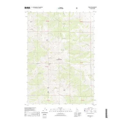
2020 Map of Sunset Peak
USGS Topo · Published 2020About this map
Sunset Peak dominates this high-altitude landscape in the Lost River Range, where the steep drainages and ridge lines define the eastern portion of the Challis National Forest. This terrain is deeply incised by a series of named canyons, including Van Dorn Canyon, Sands Canyon, and Cedarville Canyon, which channel seasonal water toward the southeast. The area is largely defined by its lack of permanent settlements, focused instead on the hydrographic network of the Cabin Fork and N Fork Cabin Fork. For those researching the backcountry of Butte County, the map provides precise locations for primitive routes such as the Sands Canyon Trail and Mikes Trail, as well as numerous family-named landmarks like Jepson Canyon and Clark Canyon.
Find a feature on this map
24 named features on this map. Tap any name to fly to it.
Don’t see what you’re looking for? This feature index may not catch every label — zoom into the map to look around manually.
Map Details
Editions of this 2020 Sunset Peak Map
This is the sole edition of this map. No revisions or reprints were ever made.
Other maps of this area

1955 · Dubois
USGS Topo · 1:250,000

1955 · Idaho Falls
USGS Topo · 1:250,000

1957 · Diamond Peak
USGS Topo · 1:62,500

1957 · Hawley Mountain
USGS Topo · 1:62,500

1958 · Dubois
USGS Topo · 1:250,000

1958 · Idaho Falls
USGS Topo · 1:250,000

1969 · Darlington
USGS Topo · 1:24,000

1969 · Arco Pass
USGS Topo · 1:24,000

1969 · Ramshorn Canyon
USGS Topo · 1:24,000

1969 · Howe NW
USGS Topo · 1:24,000