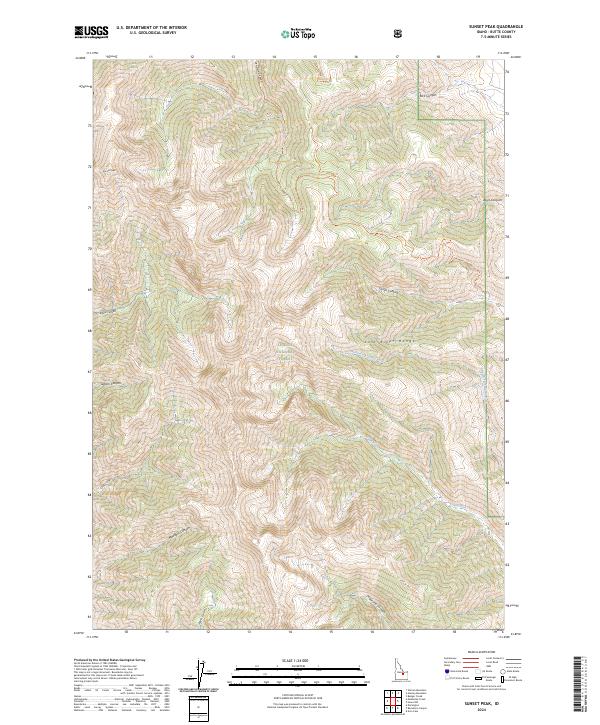
2024 Map of Sunset Peak
USGS Topo · Published 2024About this map
The Lost River Range dominates this portion of the Challis National Forest in Butte County, Idaho. Rising sharply to summits like Sunset Peak, the terrain is defined by a series of deep drainages including Elbow Canyon, Jepson Canyon, and Maddock Canyon. These natural corridors dictate the movement of water and livestock through the high country, with seasonal flows in the North Fork Cabin Fork and the main Cabin Fork feeding into the wider valley systems.
Find a feature on this map
23 named features on this map. Tap any name to fly to it.
Don’t see what you’re looking for? This feature index may not catch every label — zoom into the map to look around manually.
Map Details
Editions of this 2024 Sunset Peak Map
This is the sole edition of this map. No revisions or reprints were ever made.
Other maps of this area

1955 · Dubois
USGS Topo · 1:250,000

1955 · Idaho Falls
USGS Topo · 1:250,000

1957 · Diamond Peak
USGS Topo · 1:62,500

1957 · Hawley Mountain
USGS Topo · 1:62,500

1958 · Dubois
USGS Topo · 1:250,000

1958 · Idaho Falls
USGS Topo · 1:250,000

1969 · Darlington
USGS Topo · 1:24,000

1969 · Arco Pass
USGS Topo · 1:24,000

1969 · Ramshorn Canyon
USGS Topo · 1:24,000

1969 · Howe NW
USGS Topo · 1:24,000