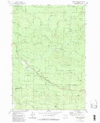
1979 Map of Sunset Spring
USGS Topo · Published 1980About this map
Clatsop State Forest and the neighboring Tillamook State Forest dominate this Pacific Northwest landscape as it was documented in the late 1970s. The region is characterized by a dense network of watercourses, including the Salmonberry River and the North Fork Wolf Creek, which carve through the timberlands. Cultural evidence of the timber industry and historical passage is found in sites like Camp McGregor (Site) and the presence of the Military Road. Strategic points for forest management and travel are noted at the Sterling FS Station and the Sunset Rest Area. The intricate mapping of unnamed logging roads and Jeep Trails underscores the active industrial and recreational use of these mountain forests, while landmarks like Coyote Corner provide local reference points in the vast woodland terrain.
Find a feature on this map
35 named features on this map. Tap any name to fly to it.
Don’t see what you’re looking for? This feature index may not catch every label — zoom into the map to look around manually.
Map Details
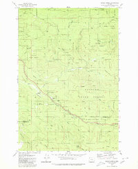
Editions of this 1979 Sunset Spring Map
2 editions found
Other maps of this area

1937 · Enright
USGS Topo · 1:62,500

1939 · Saddle Mountain
USGS Topo · 1:62,500

1941 · Keasey
USGS Topo · 1:62,500

1941 · Timber
USGS Topo · 1:62,500

1941 · Enright
USGS Topo · 1:62,500

1943 · Keasey
USGS Topo · 1:62,500

1943 · Saddle Mtn.
USGS Topo · 1:62,500

1948 · Vancouver
USGS Topo · 1:250,000

1950 · Vancouver
USGS Topo · 1:250,000

1950 · Vancouver
USGS Topo · 1:250,000