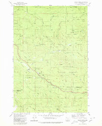
1979 Map of Sunset Spring
USGS Topo · Published 1980About this map
Clatsop State Forest and the Tillamook State Forest dominate this landscape during the late 1970s, representing a region heavily shaped by timber management and resource extraction. The area's history is marked by former locations such as Camp McGregor (Site) and infrastructure like the Sterling FS Station. A dense network of logging roads including Green Mountain Road and McGregor Road crisscross the terrain, connecting numerous quarries and borrow pits. The topography is defined by the headwaters of several drainages, most notably the North Fork Salmonberry River and the various branches of Wolf Creek. Distinctive landmarks such as Sunset Spring and the Sunset Rest Area provide orientation points within the forested highlands of the Green Mountain and Ginger Mountain range.
Find a feature on this map
38 named features on this map. Tap any name to fly to it.
Don’t see what you’re looking for? This feature index may not catch every label — zoom into the map to look around manually.
Map Details
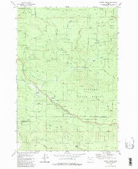
Editions of this 1979 Sunset Spring Map
2 editions found
Other maps of this area

1937 · Enright
USGS Topo · 1:62,500

1939 · Saddle Mountain
USGS Topo · 1:62,500

1941 · Keasey
USGS Topo · 1:62,500

1941 · Timber
USGS Topo · 1:62,500

1941 · Enright
USGS Topo · 1:62,500

1943 · Keasey
USGS Topo · 1:62,500

1943 · Saddle Mtn.
USGS Topo · 1:62,500

1948 · Vancouver
USGS Topo · 1:250,000

1950 · Vancouver
USGS Topo · 1:250,000

1950 · Vancouver
USGS Topo · 1:250,000