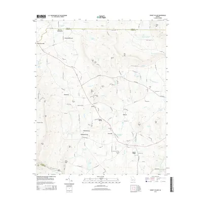
2014 Map of Sunset Village
USGS Topo · Published 2014About this map
McCrary Settlement and Jones Settlement sit near the northern border of Upson County in this 2014 survey, highlighting the enduring nature of named community clusters in this part of Georgia. The landscape is defined by its transition from the peaks of Indian Grave Mtn and Bull Trail Mtn down toward the Flint River at Pasley Shoals. A network of rural roads, including Ga-74, connects small hubs like Crest, Hendricks, and Ellerbeetown. Local history is anchored by several sites including Hendricks Cem and the Crest Lookout Tower, while the hydrologic footprint is dominated by numerous small impoundments such as Lake Ellerbee Number 1 and Daniel Lake. The area reflects a classic Piedmont geography where small settlements evolved around topographic features and agricultural crossroads.
Find a feature on this map
132 named features on this map. Tap any name to fly to it.
Don’t see what you’re looking for? This feature index may not catch every label — zoom into the map to look around manually.
Map Details
Editions of this 2014 Sunset Village Map
This is the sole edition of this map. No revisions or reprints were ever made.
Other maps of this area

1907 · Talbotton
USGS Topo · 1:125,000

1934 · Warm Springs
USGS Topo · 1:62,500

1935 · Thomaston
USGS Topo · 1:48,000

1936 · Warm Springs
USGS Topo · 1:62,500

1939 · Thomaston
USGS Topo · 1:62,500

1953 · Atlanta
USGS Topo · 1:250,000

1955 · Phenix City
USGS Topo · 1:250,000

1957 · Phenix City
USGS Topo · 1:250,000

1957 · Atlanta
USGS Topo · 1:250,000

1958 · Phenix City
USGS Topo · 1:250,000