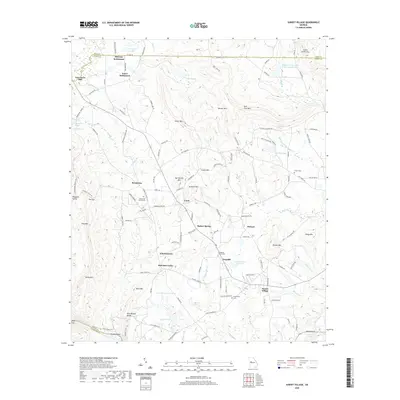
2020 Map of Sunset Village
USGS Topo · Published 2020About this map
McCrary Settlement and Jones Settlement anchor the northern reaches of this landscape where the Pike and Upson county lines meet. The terrain is defined by a series of prominent peaks, including Salter Mtn, Dorster Mtn, and Indian Grave Mtn, which drop toward the many spring-fed water bodies such as Willingham Spring and Thundering Spring. This area maintains a strong connection to its rural heritage through several historic cemeteries, including Hendricks Church Cem and Friendship Church Cem, which are scattered among small communities like Ellerbeetown and Pickard.
Find a feature on this map
138 named features on this map. Tap any name to fly to it.
Don’t see what you’re looking for? This feature index may not catch every label — zoom into the map to look around manually.
Map Details
Editions of this 2020 Sunset Village Map
This is the sole edition of this map. No revisions or reprints were ever made.
Other maps of this area

1907 · Talbotton
USGS Topo · 1:125,000

1934 · Warm Springs
USGS Topo · 1:62,500

1935 · Thomaston
USGS Topo · 1:48,000

1936 · Warm Springs
USGS Topo · 1:62,500

1939 · Thomaston
USGS Topo · 1:62,500

1953 · Atlanta
USGS Topo · 1:250,000

1955 · Phenix City
USGS Topo · 1:250,000

1957 · Phenix City
USGS Topo · 1:250,000

1957 · Atlanta
USGS Topo · 1:250,000

1958 · Phenix City
USGS Topo · 1:250,000