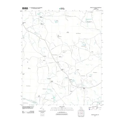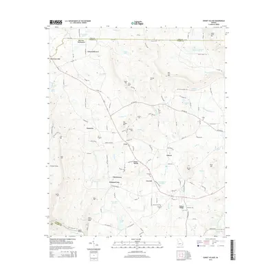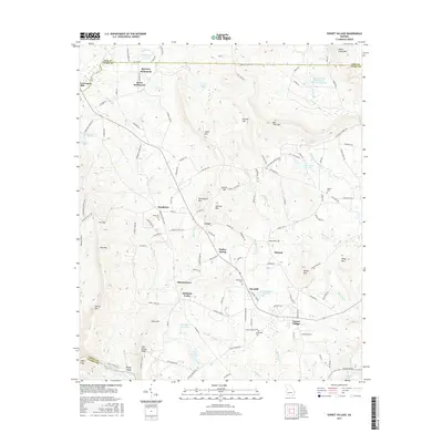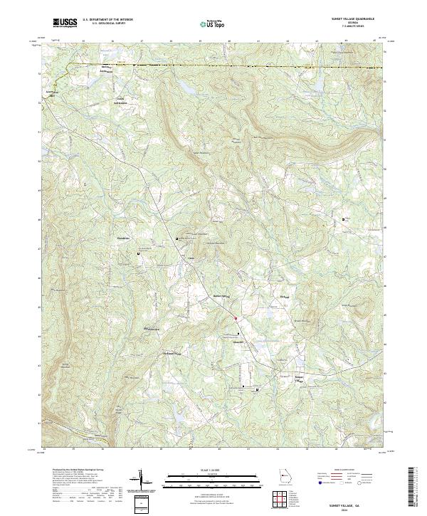
2024 Map of Sunset Village
USGS Topo · Published 2024About this map
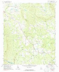
McCrary Settlement and Jones Settlement anchor the northern reaches of this Georgia landscape, situated along the county line where the foothills of the Piedmont begin to rise. The terrain is defined by a series of prominent elevations including Salter Mountain, Bull Trail Mountain, and Indian Grave Mountain, which separate the various creek drainages. Small rural centers and family-named localities like Hendricks, Crest, and Barker Spring are connected by a network of local roads such as Old Alabama Rd and Ellerbeetown Rd.
Find a feature on this map
147 named features on this map. Tap any name to fly to it.
Don’t see what you’re looking for? This feature index may not catch every label — zoom into the map to look around manually.
Map Details
Editions of this 2024 Sunset Village Map
This is the sole edition of this map. No revisions or reprints were ever made.
Historical Maps of Sunset Village Through Time
6 maps found