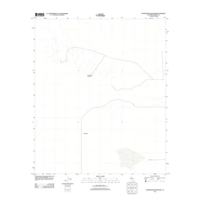
2012 Map of Superstition Mountain
USGS Topo · Published 2012About this map
Superstition Mountain and the broad expanse of West Mesa dominate this arid landscape in Imperial County. The terrain is characterized by sparse desert features and a network of ephemeral drainage patterns that define the topography west of the Imperial Valley. Modern infrastructure is limited to few corridors, most notably Wheeler Rd, which traverses the southern portion of the sheet. This 2012 survey illustrates the remote character of this region, providing a clear view of the natural relief and landforms before they are obscured by significant development. The area serves as a transition between the elevated peaks of the mountain range and the flat, low-lying desert plains to the west.
Find a feature on this map
3 named features on this map. Tap any name to fly to it.
Don’t see what you’re looking for? This feature index may not catch every label — zoom into the map to look around manually.
Map Details
Editions of this 2012 Superstition Mountain Map
This is the sole edition of this map. No revisions or reprints were ever made.
Other maps of this area

1915 · El Centro
USGS Topo · 1:125,000

1940 · Brawley
USGS Topo · 1:62,500

1940 · Kane Spring
USGS Topo · 1:62,500

1940 · Plaster City
USGS Topo · 1:62,500

1942 · El Centro
USGS Topo · 1:250,000

1943 · Brawley
USGS Topo · 1:62,500

1944 · Plaster City
USGS Topo · 1:62,500

1944 · Kane Spring
USGS Topo · 1:62,500

1944 · Calipatria
USGS Topo · 1:62,500

1954 · El Centro
USGS Topo · 1:250,000