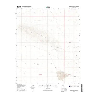
2015 Map of Superstition Mountain
USGS Topo · Published 2015About this map
Superstition Mtn rises as a prominent topographic anchor in this desert landscape, surrounded by the wide expanse of the West Mesa and the western edge of the Imperial Valley. This 2015 topographic record by the U.S. Geological Survey shows a stark terrain defined by contour gradients and a minimal network of desert roads, including Imler Rd and Wheeler Rd. The lack of dense settlement emphasizes the isolation of this corner of Imperial County, California, where the environment is shaped by the Public Land Survey System grids, such as t14s r11e and t15s r12e. Researchers of this arid region can observe the precise land divisions and elevation changes that define the mountain's structure against the surrounding flatlands.
Find a feature on this map
11 named features on this map. Tap any name to fly to it.
Don’t see what you’re looking for? This feature index may not catch every label — zoom into the map to look around manually.
Map Details
Editions of this 2015 Superstition Mountain Map
This is the sole edition of this map. No revisions or reprints were ever made.
Other maps of this area

1915 · El Centro
USGS Topo · 1:125,000

1940 · Brawley
USGS Topo · 1:62,500

1940 · Kane Spring
USGS Topo · 1:62,500

1940 · Plaster City
USGS Topo · 1:62,500

1942 · El Centro
USGS Topo · 1:250,000

1943 · Brawley
USGS Topo · 1:62,500

1944 · Plaster City
USGS Topo · 1:62,500

1944 · Kane Spring
USGS Topo · 1:62,500

1944 · Calipatria
USGS Topo · 1:62,500

1954 · El Centro
USGS Topo · 1:250,000