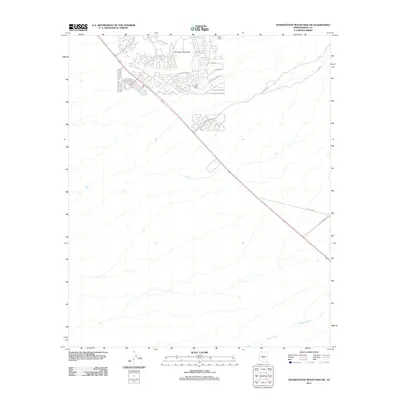
2011 Map of Superstition Mountains SW
USGS Topo · Published 2011About this map
Dinosaur Mountain stands as a prominent topographical anchor in this desert landscape, where residential development and ranching interests met at the start of the twenty-first century. The map shows the expanding residential street grid of Gold Canyon Ranch and Dinosaur Mountain in the northwest, featuring thoroughfares like S Kings Ranch Rd and winding lanes such as E Sleepy Hollow Trl. To the northeast, the RRR Ranch marks a more traditional use of the land. The southeastern portion of the quadrangle is defined by the natural course of Queen Creek, which traverses the arid terrain alongside routes that hint at the region's history, such as E El Camino Viejo. This survey captures a moment of transition where modern suburban expansion interfaces with the open range and rugged trails like Peralta Rd that lead into the nearby mountain wilderness.
Find a feature on this map
15 named features on this map. Tap any name to fly to it.
Don’t see what you’re looking for? This feature index may not catch every label — zoom into the map to look around manually.
Map Details
Editions of this 2011 Superstition Mountains SW Map
This is the sole edition of this map. No revisions or reprints were ever made.
Other maps of this area

1900 · Florence
USGS Topo · 1:125,000

1902 · Florence
USGS Topo · 1:125,000

1904 · Desert Well
USGS Topo · 1:62,500

1906 · Desert Well
USGS Topo · 1:62,500

1907 · Sacaton
USGS Topo · 1:62,500

1954 · Mesa
USGS Topo · 1:250,000

1956 · Sacaton NE
USGS Topo · 1:24,000

1956 · Goldfield
USGS Topo · 1:24,000

1956 · Magma
USGS Topo · 1:24,000

1956 · Desert Well
USGS Topo · 1:24,000