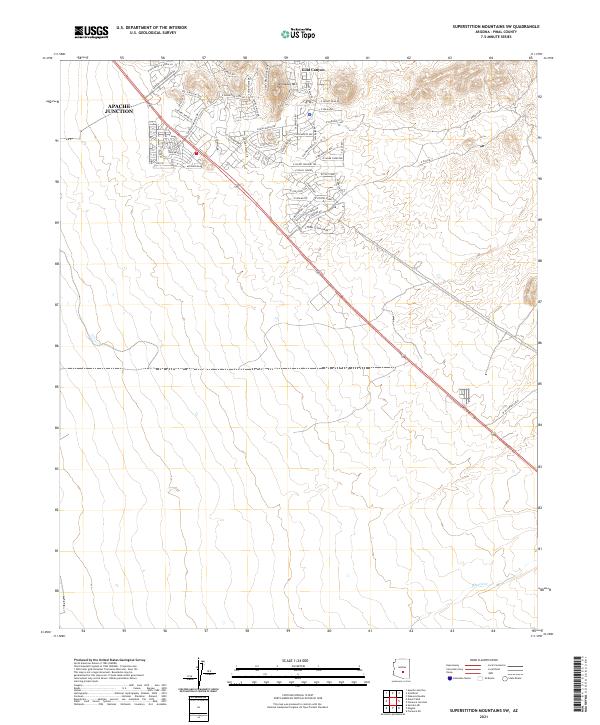
2021 Map of Superstition Mountains SW
USGS Topo · Published 2021About this map
The residential expansion of Apache Junction and the community of Gold Canyon anchor this modern landscape in Pinal County. Situated at the edge of the desert uplands, the map reveals a complex network of suburban streets and planned developments winding through the terrain. Significant landmarks include the prominent elevation of Dinosaur Mtn and the seasonal drainage of Queen Cr to the south. The transition from the dense street grids along S Mountainbrook Dr and S Superstition Mountain Dr into the more open, high-desert spaces of the east demonstrates the ongoing suburbanization of this region. Named thoroughfares like S Ave Corazon De Oro and E Fossil Springs provide a detailed view of local infrastructure as it existed in 2021.
Find a feature on this map
52 named features on this map. Tap any name to fly to it.
Don’t see what you’re looking for? This feature index may not catch every label — zoom into the map to look around manually.
Map Details
Editions of this 2021 Superstition Mountains SW Map
This is the sole edition of this map. No revisions or reprints were ever made.
Other maps of this area

1900 · Florence
USGS Topo · 1:125,000

1902 · Florence
USGS Topo · 1:125,000

1904 · Desert Well
USGS Topo · 1:62,500

1906 · Desert Well
USGS Topo · 1:62,500

1907 · Sacaton
USGS Topo · 1:62,500

1954 · Mesa
USGS Topo · 1:250,000

1956 · Sacaton NE
USGS Topo · 1:24,000

1956 · Goldfield
USGS Topo · 1:24,000

1956 · Magma
USGS Topo · 1:24,000

1956 · Desert Well
USGS Topo · 1:24,000