
2020 Map of Suplee
USGS Topo · Published 2020About this map
Suplee sits at the heart of this high-desert landscape in eastern Crook County, serving as a focal point for the surrounding cattle ranching and timber geography. The map reveals a territory defined by complex drainage systems and volcanic topography, where the Ochoco National Forest borders the northern reaches. Water sources are critical identifiers in this arid environment, evidenced by the presence of Suplee Hot Spring, Soda Spring, and Henshaw Spring.
Find a feature on this map
38 named features on this map. Tap any name to fly to it.
Don’t see what you’re looking for? This feature index may not catch every label — zoom into the map to look around manually.
Map Details
Editions of this 2020 Suplee Map
This is the sole edition of this map. No revisions or reprints were ever made.
Other maps of this area
1932 · Dayville
USGS Topo · 1:125,000
1936 · Dayville
USGS Topo · 1:125,000
1955 · Burns
USGS Topo · 1:250,000
1955 · Canyon City
USGS Topo · 1:250,000
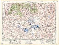
1958 · Burns
USGS Topo · 1:250,000
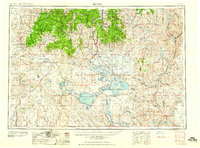
1959 · Burns
USGS Topo · 1:250,000
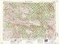
1959 · Canyon City
USGS Topo · 1:250,000
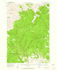
1961 · Delintment Lake
USGS Topo · 1:62,500
1981 · Powell Mtn
USGS Topo · 1:24,000
1981 · Suplee
USGS Topo · 1:24,000