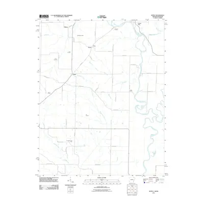
2011 Map of Supply
USGS Topo · Published 2011About this map
Current River meanders through the eastern edge of this landscape, defining the borderlands where the Ozark foothills meet the Arkansas delta. The area is characterized by a dense network of small family burial grounds and crossroads settlements, reflecting a long history of local habitation along old transit routes like Pitman Rd. From the hamlet of Pitman near Grindstone Hill to the community of Supply, the map reveals a rural economy shaped by both natural waterways and man-made drainage systems.
Find a feature on this map
57 named features on this map. Tap any name to fly to it.
Don’t see what you’re looking for? This feature index may not catch every label — zoom into the map to look around manually.
Map Details
Editions of this 2011 Supply Map
This is the sole edition of this map. No revisions or reprints were ever made.
Other maps of this area

1935 · Acorn
USGS Topo · 1:62,500

1935 · Knobel
USGS Topo · 1:62,500

1935 · Reyno
USGS Topo · 1:62,500

1939 · Doniphan
USGS Topo · 1:62,500

1940 · Naylor
USGS Topo · 1:62,500

1941 · Knobel
USGS Topo · 1:62,500

1944 · Naylor
USGS Topo · 1:62,500

1945 · Doniphan
USGS Topo · 1:62,500

1957 · Poplar Bluff
USGS Topo · 1:250,000

1959 · Poplar Bluff
USGS Topo · 1:250,000