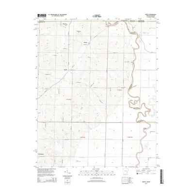
2014 Map of Supply
USGS Topo · Published 2014About this map
Current View sits at the northern edge of this landscape where the Missouri and Arkansas border meets the meandering path of the Current River. This 2014 survey documents a rural corridor transitioning from the high ground of Grindstone Hill down toward the alluvial plains of the Little Black River drainage. Small settlements such as Supply, Pitman, and Minorca are connected by a network of local roads like Pitman Rd and McKnight Rd, reflecting a lineage of family farms and local crossroads commerce.
Find a feature on this map
69 named features on this map. Tap any name to fly to it.
Don’t see what you’re looking for? This feature index may not catch every label — zoom into the map to look around manually.
Map Details
Editions of this 2014 Supply Map
This is the sole edition of this map. No revisions or reprints were ever made.
Other maps of this area

1935 · Acorn
USGS Topo · 1:62,500

1935 · Knobel
USGS Topo · 1:62,500

1935 · Reyno
USGS Topo · 1:62,500

1939 · Doniphan
USGS Topo · 1:62,500

1940 · Naylor
USGS Topo · 1:62,500

1941 · Knobel
USGS Topo · 1:62,500

1944 · Naylor
USGS Topo · 1:62,500

1945 · Doniphan
USGS Topo · 1:62,500

1957 · Poplar Bluff
USGS Topo · 1:250,000

1959 · Poplar Bluff
USGS Topo · 1:250,000