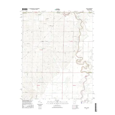
2017 Map of Supply
USGS Topo · Published 2017About this map
The Current River meanders along the eastern edge of this Missouri and Arkansas borderland, defining the transition from the rolling hills of Ripley County to the low-lying wetlands of the south. This 2017 survey shows a landscape where small settlements like Pitman and Supply serve as anchors for a network of rural roads such as Pitman Rd and McKnight Rd. The area is notably dense with family and community burial grounds, including the Old Pitman Cem, Ainley Cem, and Legate Cem, providing significant touchpoints for genealogical research in the region.
Find a feature on this map
71 named features on this map. Tap any name to fly to it.
Don’t see what you’re looking for? This feature index may not catch every label — zoom into the map to look around manually.
Map Details
Editions of this 2017 Supply Map
This is the sole edition of this map. No revisions or reprints were ever made.
Other maps of this area

1935 · Acorn
USGS Topo · 1:62,500

1935 · Knobel
USGS Topo · 1:62,500

1935 · Reyno
USGS Topo · 1:62,500

1939 · Doniphan
USGS Topo · 1:62,500

1940 · Naylor
USGS Topo · 1:62,500

1941 · Knobel
USGS Topo · 1:62,500

1944 · Naylor
USGS Topo · 1:62,500

1945 · Doniphan
USGS Topo · 1:62,500

1957 · Poplar Bluff
USGS Topo · 1:250,000

1959 · Poplar Bluff
USGS Topo · 1:250,000