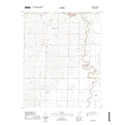
2020 Map of Supply
USGS Topo · Published 2020About this map
Current River meanders along the eastern edge of this Missouri and Arkansas borderland, defining a landscape shaped by both natural waterways and modern agricultural engineering. In the northern reaches, the settlements of Minorca and Pitman sit amongst a network of family-named landmarks and historical burial sites like Old Pitman Cem and Allen Cem. Further south, the terrain levels out into the flatlands of the Bootheel region, where the introduction of drainage features such as Lateral Number 1 and Lateral Number 2 highlights the transition from woodland to productive farmland. The area around Supply is characterized by small tributaries like Winningham Cr and Rock Cr that flow toward the river, while local lakes including Peoples Lake and McGuire Lake provide distinctive points of interest for those tracing the historical geography of Ripley and Randolph counties.
Find a feature on this map
73 named features on this map. Tap any name to fly to it.
Don’t see what you’re looking for? This feature index may not catch every label — zoom into the map to look around manually.
Map Details
Editions of this 2020 Supply Map
This is the sole edition of this map. No revisions or reprints were ever made.
Other maps of this area

1935 · Acorn
USGS Topo · 1:62,500

1935 · Knobel
USGS Topo · 1:62,500

1935 · Reyno
USGS Topo · 1:62,500

1939 · Doniphan
USGS Topo · 1:62,500

1940 · Naylor
USGS Topo · 1:62,500

1941 · Knobel
USGS Topo · 1:62,500

1944 · Naylor
USGS Topo · 1:62,500

1945 · Doniphan
USGS Topo · 1:62,500

1957 · Poplar Bluff
USGS Topo · 1:250,000

1959 · Poplar Bluff
USGS Topo · 1:250,000