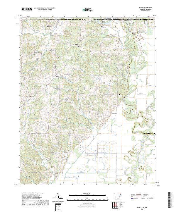
2024 Map of Supply
USGS Topo · Published 2024About this map
Current River crossings and family cemeteries define the rural character of this borderland between Randolph County, Arkansas, and Ripley County, Missouri. The landscape is marked by historic river access points including Ritmans Ferry, Finley Ferry, and Cochrum Ferry, which once facilitated local commerce and travel across the state line. Small communities like Supply, Pitman, and Minorca are dispersed across the terrain, connected by a network of local routes such as McKnight Rd and Pitman Rd.
Find a feature on this map
69 named features on this map. Tap any name to fly to it.
Don’t see what you’re looking for? This feature index may not catch every label — zoom into the map to look around manually.
Map Details
Editions of this 2024 Supply Map
This is the sole edition of this map. No revisions or reprints were ever made.
Other maps of this area

1935 · Acorn
USGS Topo · 1:62,500

1935 · Knobel
USGS Topo · 1:62,500

1935 · Reyno
USGS Topo · 1:62,500

1939 · Doniphan
USGS Topo · 1:62,500

1940 · Naylor
USGS Topo · 1:62,500

1941 · Knobel
USGS Topo · 1:62,500

1944 · Naylor
USGS Topo · 1:62,500

1945 · Doniphan
USGS Topo · 1:62,500

1957 · Poplar Bluff
USGS Topo · 1:250,000

1959 · Poplar Bluff
USGS Topo · 1:250,000