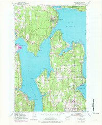
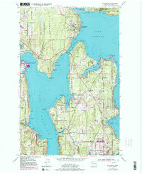
1953 Map of Suquamish
USGS Topo · Published 1981About this map
Bainbridge Island and the surrounding Kitsap County peninsula are meticulously detailed in this survey, which highlights the maritime and military significance of the region during the mid-20th century. The Port Madison Indian Reservation spans the northern reaches, while the Naval Undersea Warfare Engineering Station at Keyport indicates the era's strategic naval presence. The settlement pattern is defined by waterfront communities such as Suquamish, Indianola, and Winslow, linked by the Agate Passage bridge.
Find a feature on this map
67 named features on this map. Tap any name to fly to it.
Don’t see what you’re looking for? This feature index may not catch every label — zoom into the map to look around manually.
Map Details
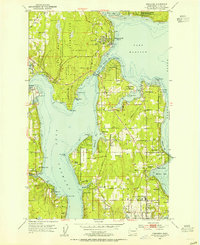
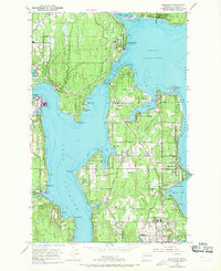
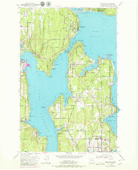
Editions of this 1953 Suquamish Map
5 editions found
Other maps of this area

1894 · Seattle
USGS Topo · 1:62,500

1895 · Snohomish
USGS Topo · 1:125,000

1897 · Seattle
USGS Topo · 1:125,000

1908 · Seattle
USGS Topo · 1:62,500

1909 · Seattle Special
USGS Topo · 1:62,500

1937 · Port Orchard
USGS Topo · 1:62,500

1937 · Port Gamble
USGS Topo · 1:62,500

1940 · Port Gamble
USGS Topo · 1:62,500

1942 · Edmonds
USGS Topo · 1:62,500

1949 · Shilshole Bay
USGS Topo · 1:24,000