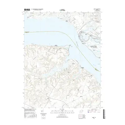
2016 Map of Surry
USGS Topo · Published 2016About this map
Jamestown Island and the Colonial National Historical Park stand as the centerpiece of this mid-2010s survey, marking the historic cradle of Virginia across the James River from Surry. The landscape reflects a mix of preserved heritage sites and quiet riverside settlements, where the James City County and Surry County border follows the river channel. On the northern bank, suburban expansion around First Colony and Lakewood meets the marshy inlets of Powhatan Creek and Sandy Bay.
Find a feature on this map
133 named features on this map. Tap any name to fly to it.
Don’t see what you’re looking for? This feature index may not catch every label — zoom into the map to look around manually.
Map Details
Editions of this 2016 Surry Map
This is the sole edition of this map. No revisions or reprints were ever made.
Other maps of this area

1906 · Williamsburg
USGS Topo · 1:62,500

1907 · Yorktown
USGS Topo · 1:62,500

1917 · Toano
USGS Topo · 1:62,500

1918 · Toano
USGS Topo · 1:62,500

1919 · Surry
USGS Topo · 1:62,500

1943 · Yorktown
USGS Topo · 1:62,500

1943 · Richmond
USGS Topo · 1:250,000
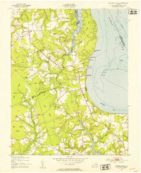
1948 · Bacons Castle
USGS Topo · 1:24,000

1949 · Richmond
USGS Topo · 1:250,000

1950 · Cobham Bay
USGS Topo · 1:24,000