
1955 Map of Surveyor Mtn
USGS Topo · Published 1957About this map
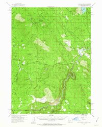
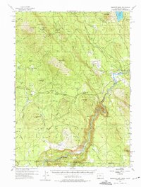
Surveyor Mountain and the high ridges of the Rogue River National Forest dominate this mid-century landscape where timber and water infrastructure define the economy. In the mid-1950s, a complex network of forest roads like Maggard Road and Pokegama Road supports the Lumber Railroad snaking through the northern hills. The southern reaches are marked by the Klamath River as it winds through the Big Bend, providing a vital corridor at the Oregon-California border. Settled areas are sparse, consisting of specialized locations such as 41 Ranch and the Boy Scout camp Camp Sa-wa-li-na-is. Local history is anchored by the Spencer Cemetery near the river and the Way Cemetery to the west, while numerous reservoirs like Griffith Reservoir and Potter Reservoir illustrate the importance of water management in this high-altitude terrain.
Find a feature on this map
72 named features on this map. Tap any name to fly to it.
Don’t see what you’re looking for? This feature index may not catch every label — zoom into the map to look around manually.
Map Details
Editions of this 1955 Surveyor Mtn Map
3 editions found
Other maps of this area

1886 · Modoc Lava Bed
USGS Topo · 1:250,000

1886 · Shasta
USGS Topo · 1:250,000

1889 · Klamath
USGS Topo · 1:250,000

1891 · Ashland
USGS Topo · 1:250,000

1892 · Modoc Lava-Bed
USGS Topo · 1:250,000

1893 · Ashland
USGS Topo · 1:250,000

1894 · Klamath
USGS Topo · 1:250,000

1894 · Shasta
USGS Topo · 1:250,000

1897 · Ashland
USGS Topo · 1:250,000

1934 · Macdoel
USGS Topo · 1:96,000