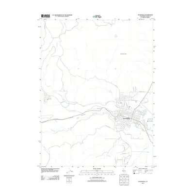
2012 Map of Susanville
USGS Topo · Published 2012About this map
Susanville serves as the focal point of this Lassen County landscape, where the high desert meets the eastern slopes of the Sierra Nevada. The settlement is organized around a grid of residential and commercial streets, including Bunyan Rd and Skyline Dr, while the local Po and the Fair Grounds Rd area mark the town's social infrastructure. Genealogy and local history are particularly well-represented by a cluster of burial sites, including the Indian Cem, Lassen Cem, and Susanville Cem.
Find a feature on this map
43 named features on this map. Tap any name to fly to it.
Don’t see what you’re looking for? This feature index may not catch every label — zoom into the map to look around manually.
Map Details
Editions of this 2012 Susanville Map
This is the sole edition of this map. No revisions or reprints were ever made.
Other maps of this area

1886 · Honey Lake
USGS Topo · 1:250,000

1891 · Honey Lake
USGS Topo · 1:250,000

1893 · Honey Lake
USGS Topo · 1:250,000

1954 · Susanville
USGS Topo · 1:62,500

1954 · Fredonyer Peak
USGS Topo · 1:62,500

1955 · Westwood
USGS Topo · 1:62,500

1955 · Westwood
USGS Topo · 1:250,000

1956 · Antelope Mtn
USGS Topo · 1:62,500

1958 · Westwood
USGS Topo · 1:250,000

1959 · Westwood
USGS Topo · 1:250,000