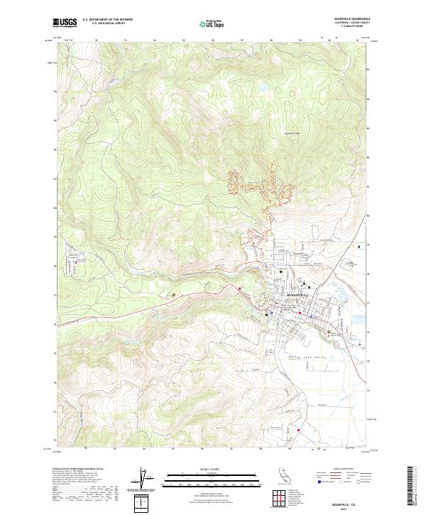
2021 Map of Susanville
USGS Topo · Published 2021About this map
Susanville sits at the northern edge of the Honey Lake Valley, where the Susan River exits the foothills of the Sierra Nevada. This modern survey illustrates the town's role as a regional hub, featuring the Lassen County Hall-of-Justice and the sprawling campus of Lassen Community College. The landscape transition is evident as the terrain rises sharply from the valley floor toward Susanville Peak, marked by a network of recreational and logging paths like the Paul Bunyan Logging Rd. Genealogists will find significant local history preserved across several dedicated sites, including the Indian Cem, Paul Bunyan Cem, and the central Susanville Cem. Water management remains a defining characteristic of the area, from the small Baggy Reservoir to the complex drainage of Jensen Slough and Piute Cr.
Find a feature on this map
113 named features on this map. Tap any name to fly to it.
Don’t see what you’re looking for? This feature index may not catch every label — zoom into the map to look around manually.
Map Details
Editions of this 2021 Susanville Map
This is the sole edition of this map. No revisions or reprints were ever made.
Other maps of this area

1886 · Honey Lake
USGS Topo · 1:250,000

1891 · Honey Lake
USGS Topo · 1:250,000

1893 · Honey Lake
USGS Topo · 1:250,000

1954 · Susanville
USGS Topo · 1:62,500

1954 · Fredonyer Peak
USGS Topo · 1:62,500

1955 · Westwood
USGS Topo · 1:62,500

1955 · Westwood
USGS Topo · 1:250,000

1956 · Antelope Mtn
USGS Topo · 1:62,500

1958 · Westwood
USGS Topo · 1:250,000

1959 · Westwood
USGS Topo · 1:250,000