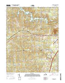
2016 Map of Sutherland
USGS Topo · Published 2016About this map
Petersburg National Battlefield dominates the southwestern corner of this Virginia landscape, marking a site of immense significance from the American Civil War. The terrain is characterized by numerous small drainages and family cemeteries that speak to generations of rural settlement in Dinwiddie County. To the north, the Appomattox River is widened by the Lake Chesdin reservoir, which forms the boundary with Chesterfield County. This 2016 survey shows the established community of Sutherland along the Cox Rd corridor, a historic thoroughfare that once served as a vital Confederate supply line. The map reveals a dense network of country roads and family-named landmarks, such as Andrews Cem, Wyatt Cem, and Dabney Cem, providing a detailed record for those researching local lineage or the geographic evolution of the region's agricultural and military past.
Find a feature on this map
107 named features on this map. Tap any name to fly to it.
Don’t see what you’re looking for? This feature index may not catch every label — zoom into the map to look around manually.
Map Details
Editions of this 2016 Sutherland Map
This is the sole edition of this map. No revisions or reprints were ever made.
Other maps of this area

1894 · Bermuda Hundred
USGS Topo · 1:62,500

1894 · Petersburg
USGS Topo · 1:62,500

1897 · Amelia
USGS Topo · 1:125,000

1943 · De Witt
USGS Topo · 1:24,000

1943 · Dinwiddie
USGS Topo · 1:24,000

1943 · Beach
USGS Topo · 1:24,000

1943 · Church Road
USGS Topo · 1:24,000

1943 · Winterpock
USGS Topo · 1:24,000

1943 · Sutherland
USGS Topo · 1:24,000

1943 · Richmond
USGS Topo · 1:250,000