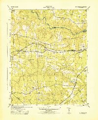
1944 Map of Sutherland
USGS Topo · Published 1944About this map
The Appomattox River forms the northern boundary of this territory, where the dividing line between Chesterfield County and Dinwiddie County follows the winding water. South of the river, the landscape is defined by the east-west corridor of the Norfolk and Western railroad, which services the central hub of Sutherland. This period in the mid-1940s shows a deeply established rural infrastructure of churches and family-named landmarks.
Find a feature on this map
32 named features on this map. Tap any name to fly to it.
Don’t see what you’re looking for? This feature index may not catch every label — zoom into the map to look around manually.
Map Details
Editions of this 1944 Sutherland Map
This is the sole edition of this map. No revisions or reprints were ever made.
Other maps of this area
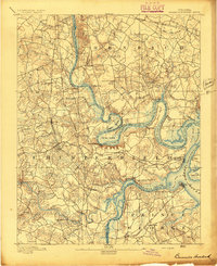
1894 · Bermuda Hundred
USGS Topo · 1:62,500
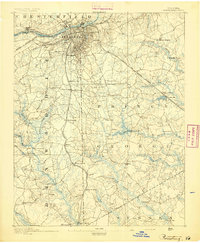
1894 · Petersburg
USGS Topo · 1:62,500
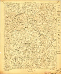
1897 · Amelia
USGS Topo · 1:125,000
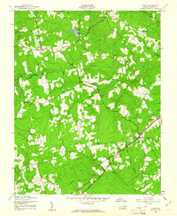
1943 · De Witt
USGS Topo · 1:24,000
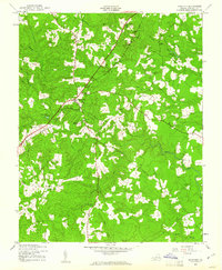
1943 · Dinwiddie
USGS Topo · 1:24,000
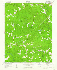
1943 · Beach
USGS Topo · 1:24,000
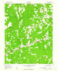
1943 · Church Road
USGS Topo · 1:24,000
1943 · Winterpock
USGS Topo · 1:24,000
1943 · Sutherland
USGS Topo · 1:24,000

1943 · Richmond
USGS Topo · 1:250,000