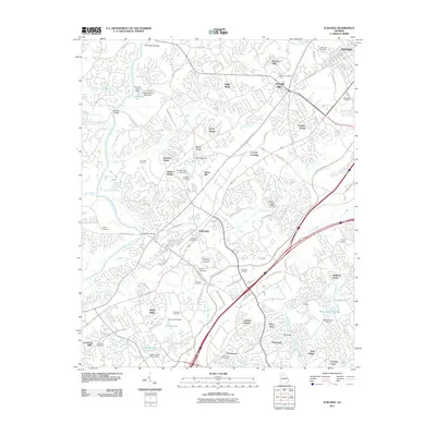
2011 Map of Suwanee
USGS Topo · Published 2011About this map
The Chattahoochee River carves a winding path through this northern Georgia landscape, serving as a geographic anchor for the growing residential and commercial corridors between Suwanee and Sugar Hill. Historic crossing points like Settles Bridge and the Littles Ferry Bridge site indicate the area's long-standing importance for transportation, while Fish Weir Shoals provides a glimpse into the river's physical character before modern alterations.
Find a feature on this map
98 named features on this map. Tap any name to fly to it.
Don’t see what you’re looking for? This feature index may not catch every label — zoom into the map to look around manually.
Map Details
Editions of this 2011 Suwanee Map
This is the sole edition of this map. No revisions or reprints were ever made.
Other maps of this area

1888 · Atlanta
USGS Topo · 1:125,000

1890 · Suwanee
USGS Topo · 1:125,000

1890 · Atlanta
USGS Topo · 1:125,000

1891 · Gainesville
USGS Topo · 1:125,000

1892 · Atlanta
USGS Topo · 1:125,000

1894 · Suwanee
USGS Topo · 1:125,000

1895 · Atlanta
USGS Topo · 1:125,000

1896 · Monroe
USGS Topo · 1:125,000

1953 · Atlanta
USGS Topo · 1:250,000

1953 · Athens
USGS Topo · 1:250,000