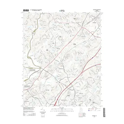
2014 Map of Suwanee
USGS Topo · Published 2014About this map
Suwanee and its surrounding suburbs appear as a dense network of residential developments and vital transit corridors in the early 21st century. The landscape is defined by the Chattahoochee River National Recreation Area, which serves as a natural boundary along the western edge of Gwinnett County. Historical remnants of the area's river-crossing economy are visible in labels like Littles Ferry Bridge and Settles Bridge, alongside the distinctive Fish Weir Shoals near the confluence of Richland Creek.
Find a feature on this map
60 named features on this map. Tap any name to fly to it.
Don’t see what you’re looking for? This feature index may not catch every label — zoom into the map to look around manually.
Map Details
Editions of this 2014 Suwanee Map
This is the sole edition of this map. No revisions or reprints were ever made.
Other maps of this area

1888 · Atlanta
USGS Topo · 1:125,000

1890 · Suwanee
USGS Topo · 1:125,000

1890 · Atlanta
USGS Topo · 1:125,000

1891 · Gainesville
USGS Topo · 1:125,000

1892 · Atlanta
USGS Topo · 1:125,000

1894 · Suwanee
USGS Topo · 1:125,000

1895 · Atlanta
USGS Topo · 1:125,000

1896 · Monroe
USGS Topo · 1:125,000

1953 · Atlanta
USGS Topo · 1:250,000

1953 · Athens
USGS Topo · 1:250,000