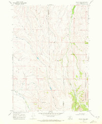
1968 Map of Swamp Creek
USGS Topo · Published 1972About this map
The Beaverhead National Forest defines the eastern edge of this high-elevation landscape, where the administrative presence of the Notch Guard Station sits near the distinctive gap known as The Notch. This 1960s survey illustrates a rugged ranching and grazing environment along the border of Beaverhead and Madison Counties, marked by seasonal water sources like Poison Spring, Kelly Spring, and Spring Brook.
Find a feature on this map
13 named features on this map. Tap any name to fly to it.
Don’t see what you’re looking for? This feature index may not catch every label — zoom into the map to look around manually.
Map Details
Editions of this 1968 Swamp Creek Map
This is the sole edition of this map. No revisions or reprints were ever made.
Other maps of this area

1893 · Dillon
USGS Topo · 1:250,000

1955 · Dubois
USGS Topo · 1:250,000

1955 · Dillon
USGS Topo · 1:250,000

1957 · Dillon
USGS Topo · 1:250,000

1958 · Dubois
USGS Topo · 1:250,000

1958 · Dillon
USGS Topo · 1:250,000

1961 · Red Canyon
USGS Topo · 1:24,000

1962 · Dillon
USGS Topo · 1:250,000
1963 · Home Park Ranch
USGS Topo · 1:24,000
1963 · Belmont Park Ranch
USGS Topo · 1:24,000