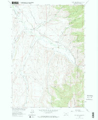
1963 Map of Home Park Ranch
USGS Topo · Published 1964About this map
Home Park Ranch and the surrounding high country of the Beaverhead National Forest define this 1963 landscape in Madison County. The terrain is a complex network of ranching outposts and irrigation infrastructure, where the Ruby River flows through a valley carved by numerous gulches and draws. Named family sites like the Gilbert Ranch, Hale Place, and Anderson Ranch are connected by a system of water management features, including the Larrabee Ditch, Galloway DITCH, and Snapp Ditch No 2. This survey, conducted as part of the Missouri River Basin development program, captures the high-elevation ranching life of southwestern Montana before significant modern changes. To the east, the steep rise of Snowcrest Mountain overlooks the drainage of Willow Creek and Cream Creek, while landmarks like the Garrison Cabin and Canyon Campground indicate the intersection of working lands and public wilderness.
Find a feature on this map
46 named features on this map. Tap any name to fly to it.
Don’t see what you’re looking for? This feature index may not catch every label — zoom into the map to look around manually.
Map Details
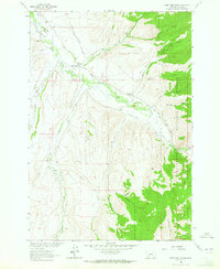
Editions of this 1963 Home Park Ranch Map
2 editions found
Other maps of this area

1888 · Three Forks
USGS Topo · 1:250,000

1893 · Dillon
USGS Topo · 1:250,000

1894 · Three Forks
USGS Topo · 1:250,000

1895 · Three Forks
USGS Topo · 1:250,000

1947 · Bozeman
USGS Topo · 1:250,000

1948 · Bozeman
USGS Topo · 1:250,000

1949 · Varney
USGS Topo · 1:62,500

1950 · Monument Ridge
USGS Topo · 1:62,500

1955 · Bozeman
USGS Topo · 1:250,000

1955 · Dubois
USGS Topo · 1:250,000