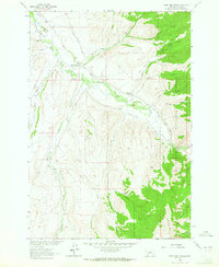
1963 Map of Home Park Ranch
USGS Topo · Published 1964About this map
Agricultural and ranching life along the upper Ruby River dominates this 1963 survey of Madison County. The landscape is defined by an intricate network of irrigation systems, including the Leyendecker Powers Ditch, Larrabee Ditch, and Snapp Ditch No 1, which diverted water from the river and its tributaries to support high-altitude ranching. Several family-named homesteads and camps are identified throughout the valley and foothills, such as Home Park Ranch, Gilbert Ranch, and the Tate Place, reflecting the established land-use patterns of the mid-20th century.
Find a feature on this map
42 named features on this map. Tap any name to fly to it.
Don’t see what you’re looking for? This feature index may not catch every label — zoom into the map to look around manually.
Map Details
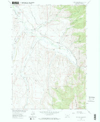
Editions of this 1963 Home Park Ranch Map
2 editions found
Other maps of this area

1888 · Three Forks
USGS Topo · 1:250,000

1893 · Dillon
USGS Topo · 1:250,000

1894 · Three Forks
USGS Topo · 1:250,000

1895 · Three Forks
USGS Topo · 1:250,000

1947 · Bozeman
USGS Topo · 1:250,000

1948 · Bozeman
USGS Topo · 1:250,000

1949 · Varney
USGS Topo · 1:62,500

1950 · Monument Ridge
USGS Topo · 1:62,500

1955 · Bozeman
USGS Topo · 1:250,000

1955 · Dubois
USGS Topo · 1:250,000