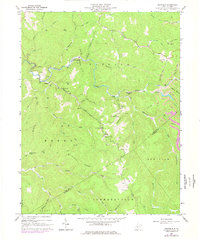
1967 Map of Swandale
USGS Topo · Published 1977About this map
Buffalo Creek carves a deep valley through this West Virginia landscape, anchoring the coal and timber communities of Swandale and Cressmont. The 1967 field data reveals a landscape defined by industrial extraction and high-ridge vantage points, most notably the Widen Lookout Tower on Pond Ridge. While the creek bottoms support small settlements like Eakle, the higher ground is characterized by extensive resource work, indicated by multiple Strip Mine and Tailings labels. The map provides a detailed look at the social fabric of the hollows, marking numerous country churches and family burial grounds, such as Pleasant Dale Ch and the Ramsey Cem. Narrow trails and unimproved roads wind along the forks of Wallowhole Run and Lick Run, connecting isolated homesteads to larger drainages like the Lilly Fork and Beech Fork.
Find a feature on this map
57 named features on this map. Tap any name to fly to it.
Don’t see what you’re looking for? This feature index may not catch every label — zoom into the map to look around manually.
Map Details
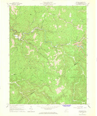
Editions of this 1967 Swandale Map
2 editions found
Other maps of this area

1889 · Nicholas
USGS Topo · 1:125,000

1891 · Nicholas
USGS Topo · 1:125,000

1893 · Sutton
USGS Topo · 1:125,000

1897 · Kanawha Falls
USGS Topo · 1:125,000

1900 · Kanawha Falls
USGS Topo · 1:125,000

1901 · Nicholas
USGS Topo · 1:125,000

1901 · Kanawha Falls
USGS Topo · 1:125,000

1906 · Otter
USGS Topo · 1:62,500

1907 · Otter
USGS Topo · 1:62,500

1908 · Clay
USGS Topo · 1:48,000