
1943 Map of Swans Island
USGS Topo · Published 1958About this map
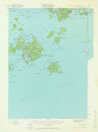
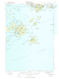
Swans Island and the surrounding archipelagos of Jericho Bay and Blue Hill Bay define this coastal survey, documented during the mid-1930s and early 1940s. The settlement at Atlantic and the harbor village of Minturn serve as the primary hubs on the main island, where Mackerel Cove and Burntcoat Harbor provide deep-water shelter for local maritime activity. The reliance on waterborne transport is evident from the Ferry to Rockland route crossing The Sound.
Find a feature on this map
141 named features on this map. Tap any name to fly to it.
Don’t see what you’re looking for? This feature index may not catch every label — zoom into the map to look around manually.
Map Details
Editions of this 1943 Swans Island Map
3 editions found
Other maps of this area

1904 · Deer Isle
USGS Topo · 1:62,500

1904 · Mount Desert
USGS Topo · 1:62,500

1904 · Swan Island
USGS Topo · 1:62,500

1904 · Bar Harbor
USGS Topo · 1:62,500

1904 · Bluehill
USGS Topo · 1:62,500

1905 · Penobscot Bay
USGS Topo · 1:125,000

1942 · Bar Harbor
USGS Topo · 1:62,500

1942 · Mount Desert
USGS Topo · 1:62,500

1942 · Deer Isle
USGS Topo · 1:62,500

1944 · Blue Hill
USGS Topo · 1:62,500