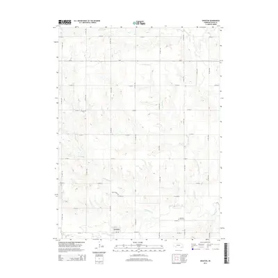
2014 Map of Swanton
USGS Topo · Published 2014About this map
Swanton sits in the southwestern portion of Saline County, where the landscape is defined by the branching tributaries of the Big Blue River watershed. The grid of country roads, including Ne-41 and Ne-76d-Spur, carves through agricultural lands drained by several significant waterways. The southern reaches of the map are particularly marked by the winding paths of Walnut Grove Cr and Swan Creek, which converge as they flow toward the east.
Find a feature on this map
33 named features on this map. Tap any name to fly to it.
Don’t see what you’re looking for? This feature index may not catch every label — zoom into the map to look around manually.
Map Details
Editions of this 2014 Swanton Map
This is the sole edition of this map. No revisions or reprints were ever made.
Other maps of this area

1897 · Lincoln
USGS Topo · 1:125,000

1935 · Dorchester
USGS Topo · 1:48,000

1940 · Dorchester
USGS Topo · 1:62,500

1955 · Lincoln
USGS Topo · 1:250,000

1957 · Lincoln
USGS Topo · 1:250,000

1957 · Plymouth
USGS Topo · 1:24,000

1957 · Wilber
USGS Topo · 1:24,000

1958 · Lincoln
USGS Topo · 1:250,000

1960 · Western SW
USGS Topo · 1:24,000

1961 · Western
USGS Topo · 1:24,000