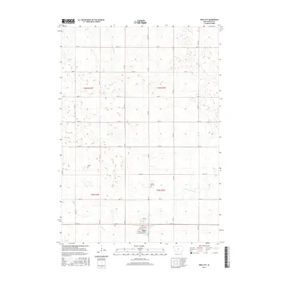
2015 Map of Swea City
USGS Topo · Published 2015About this map
The agrarian landscape surrounding Swea City is defined by a grid of rural roads and the drainage patterns of the upper Midwest. Located in northern Kossuth County, the area is dissected by the W Br Blue Earth River and Mud Cr, alongside engineered water management features like Ditch Number 60. This 2015 survey provides a clear view of the town's street plan, including Ash Ave W and Park Ave, where the municipal center is concentrated. Local history is anchored by the Harrison Township Cem and the Lutheran Cem, which serve as quiet landmarks among the expansive agricultural sections. The map reveals the precise township and range organization that has shaped this Iowa prairie since settlement, illustrating the relationship between the natural waterways and the rigid mile-square road network.
Find a feature on this map
32 named features on this map. Tap any name to fly to it.
Don’t see what you’re looking for? This feature index may not catch every label — zoom into the map to look around manually.
Map Details
Editions of this 2015 Swea City Map
This is the sole edition of this map. No revisions or reprints were ever made.
Other maps of this area

1954 · Fairmont
USGS Topo · 1:250,000

1958 · Fairmont
USGS Topo · 1:250,000

1967 · Pilot Grove
USGS Topo · 1:24,000

1967 · East Chain
USGS Topo · 1:24,000

1967 · Wilmert Lake
USGS Topo · 1:24,000

1972 · Bancroft
USGS Topo · 1:24,000

1972 · Ledyard
USGS Topo · 1:24,000

1980 · Seneca
USGS Topo · 1:24,000

1980 · Armstrong
USGS Topo · 1:24,000

1980 · Swea City
USGS Topo · 1:24,000