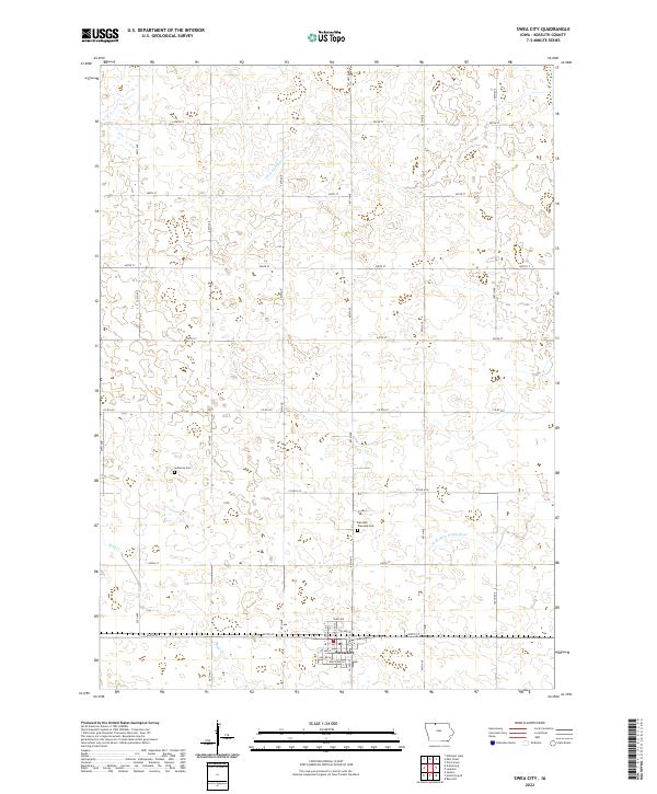
2022 Map of Swea City
USGS Topo · Published 2022About this map
Swea City sits in the southwestern corner of this agricultural landscape in Kossuth County, characterized by a meticulous grid of rural roads and drainage channels. The town's local streets, including Park Ave and Birch Ave W, provide a clear view of its modern footprint. Outside the town center, the terrain is defined by the W Br Blue Earth River and Mud Cr, alongside engineered features like Ditch Number 60 that support the region's productive farmland. For those researching local heritage, the map identifies Lutheran Cem and Harrison Township Cem, which serve as quiet landmarks of the area's settlement history. The strict township and range boundaries, such as t100n r29w, underscore the orderly land management typical of the Iowa plains.
Find a feature on this map
35 named features on this map. Tap any name to fly to it.
Don’t see what you’re looking for? This feature index may not catch every label — zoom into the map to look around manually.
Map Details
Editions of this 2022 Swea City Map
This is the sole edition of this map. No revisions or reprints were ever made.
Other maps of this area

1954 · Fairmont
USGS Topo · 1:250,000

1958 · Fairmont
USGS Topo · 1:250,000

1967 · Pilot Grove
USGS Topo · 1:24,000

1967 · East Chain
USGS Topo · 1:24,000

1967 · Wilmert Lake
USGS Topo · 1:24,000

1972 · Bancroft
USGS Topo · 1:24,000

1972 · Ledyard
USGS Topo · 1:24,000

1980 · Seneca
USGS Topo · 1:24,000

1980 · Armstrong
USGS Topo · 1:24,000

1980 · Swea City
USGS Topo · 1:24,000