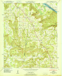
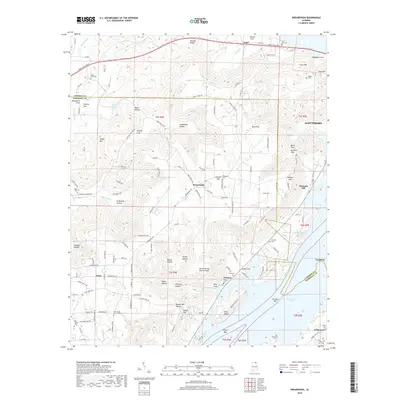
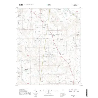
1947 Map of Swearengin
USGS Topo · Published 1983About this map
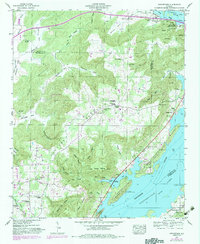
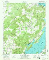
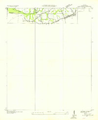
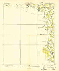
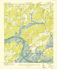
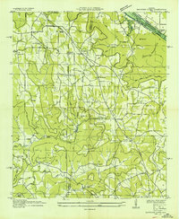
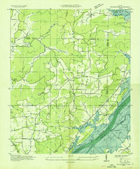
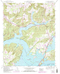
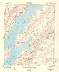
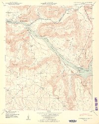
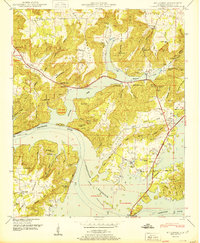
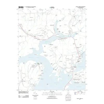
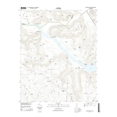
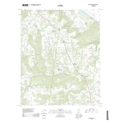
Swearengin and Grant anchor this 1947 study of the mountainous border between Jackson and Marshall counties, just after the Tennessee River was transformed into Guntersville Lake. The map reveals a landscape defined by deep coves and ridges, where isolated settlements are connected by rural roads winding through Kennamer Cove and Pisgah Cove. Geologic interest is high here, with notable landmarks like Cathedral Caverns, Blowing Cave, and Saltpeter Cave documented alongside family-named landmarks like Uncle George McLean Point. Cultural life is marked by a high density of country churches and schools, including Oak Grove Church, Beulah Ch, and the New Prospect School. The presence of the Oar Reservation and multiple cemeteries like Zions Rest Cem and Mc Camy Cem provide essential data for local historians and genealogists tracking family plots in this river valley region.
Find a feature on this map
77 named features on this map. Tap any name to fly to it.
Don’t see what you’re looking for? This feature index may not catch every label — zoom into the map to look around manually.
Map Details
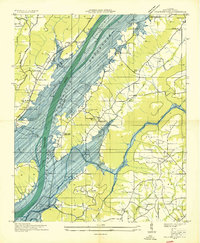
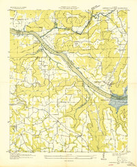
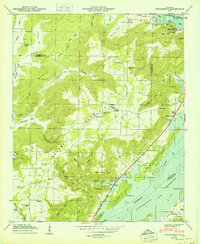
Editions of this 1947 Swearengin Map
2 editions found
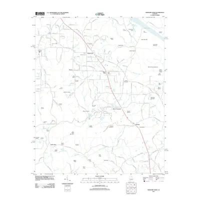
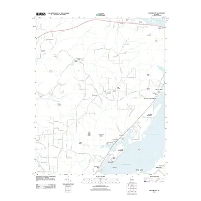
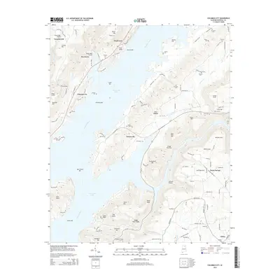
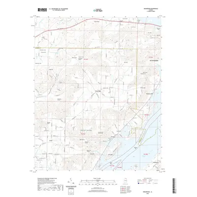
Historical Maps of Scottsboro Through Time
46 maps found
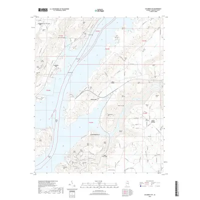
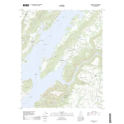
1936 Columbus City
Marshall County, AL
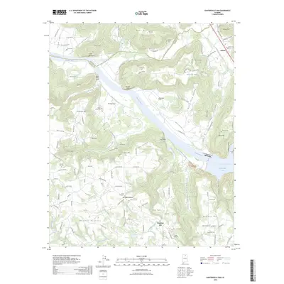
1936 Guntersville Dam
Marshall County, AL
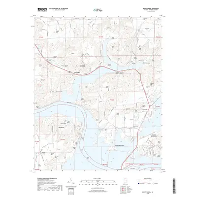
1936 High Point
Marshall County, AL
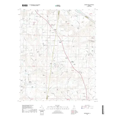
1936 Mountainboro
Marshall County, AL
1936 Mt Carmel
Marshall County, AL
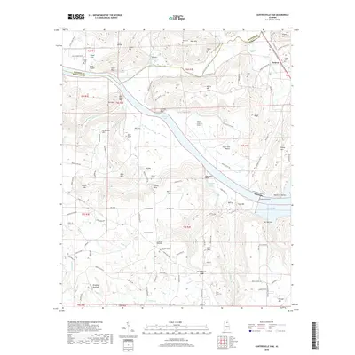
1936 Newsome Sinks
Marshall County, AL
1936 Swearengin
Marshall County, AL
1947 Columbus City
Marshall County, AL
1947 Newsome Sinks
Marshall County, AL
1947 Swearengin
Marshall County, AL
1948 Guntersville Dam
Marshall County, AL
1948 Mt Carmel
Marshall County, AL
1949 Columbus City
Marshall County, AL
1950 Guntersville Dam
Marshall County, AL
1950 Mt Carmel
Marshall County, AL
1950 Newsome Sinks
Marshall County, AL
1950 Swearengin
Marshall County, AL

1984 Mt Carmel
Marshall County, AL
2011 Columbus City
Marshall County, AL
2011 Guntersville Dam
Marshall County, AL
2011 Mount Carmel
Marshall County, AL
2011 Newsome Sinks
Marshall County, AL
2011 Swearengin
Marshall County, AL
2014 Columbus City
Marshall County, AL
2014 Guntersville Dam
Marshall County, AL
2014 Mount Carmel
Marshall County, AL
2014 Newsome Sinks
Marshall County, AL
2014 Swearengin
Marshall County, AL
2018 Columbus City
Marshall County, AL
2018 Guntersville Dam
Marshall County, AL
2018 Mount Carmel
Marshall County, AL
2018 Newsome Sinks
Marshall County, AL
2018 Swearengin
Marshall County, AL
2020 Columbus City
Marshall County, AL
2020 Guntersville Dam
Marshall County, AL
2020 Mount Carmel
Marshall County, AL
2020 Newsome Sinks
Marshall County, AL
2020 Swearengin
Marshall County, AL
2024 Columbus City
Marshall County, AL
2024 Guntersville Dam
Marshall County, AL
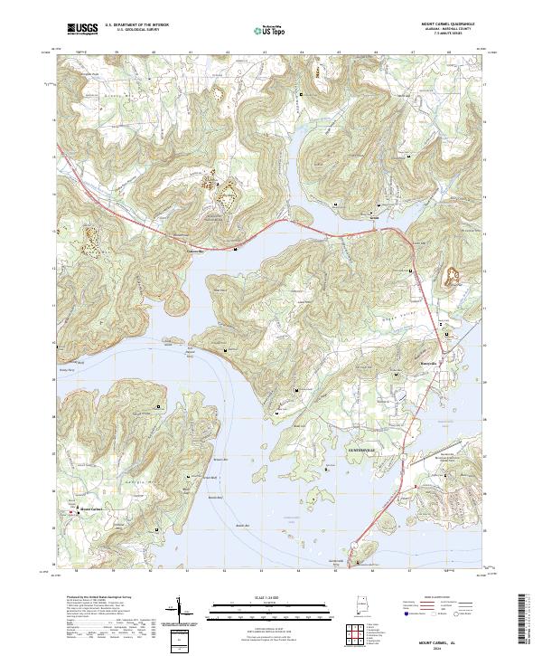
2024 Mount Carmel
Marshall County, AL

2024 Newsome Sinks
Marshall County, AL
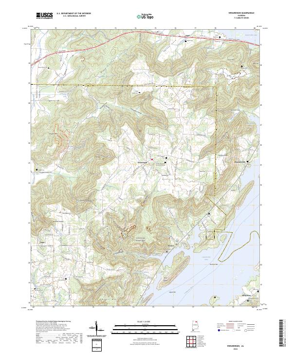
2024 Swearengin
Marshall County, AL
2026 Columbus City
Marshall County, AL
2026 Guntersville Dam
Marshall County, AL
2026 Newsome Sinks
Marshall County, AL