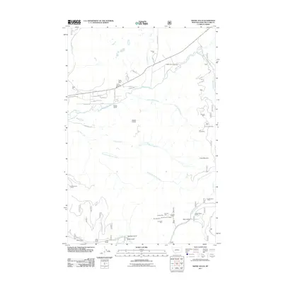
2011 Map of Swede Gulch
USGS Topo · Published 2011About this map
Mining history and ranching define the upper Blackfoot River corridor in this Montana landscape. The area is marked by a dense concentration of mineral extraction sites, particularly in the southeastern reaches where the Seven Up Pete Mine, Swansea Mine, and Silver Bell Mine are located alongside the Swansea Tailings. These sites, clustered near Davis Gulch and Poorman Creek, suggest a legacy of hard-rock mining that shaped local development.
Find a feature on this map
52 named features on this map. Tap any name to fly to it.
Don’t see what you’re looking for? This feature index may not catch every label — zoom into the map to look around manually.
Map Details
Editions of this 2011 Swede Gulch Map
This is the sole edition of this map. No revisions or reprints were ever made.
Other maps of this area

1889 · Helena
USGS Topo · 1:250,000

1893 · Helena
USGS Topo · 1:250,000

1899 · Helena
USGS Topo · 1:250,000

1903 · Coopers Lake
USGS Topo · 1:125,000

1903 · Helena
USGS Topo · 1:250,000

1943 · Hogan
USGS Topo · 1:125,000

1947 · Butte
USGS Topo · 1:250,000

1955 · Choteau
USGS Topo · 1:250,000

1957 · Choteau
USGS Topo · 1:250,000

1958 · Butte
USGS Topo · 1:250,000