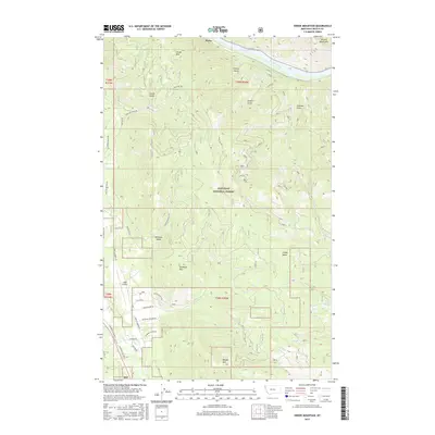
2017 Map of Swede Mountain
USGS Topo · Published 2017About this map
Kootenai National Forest dominates this section of Lincoln County, defined by the northern flow of the Kootenai River and the rugged peaks of the Purcell Mountains. The landscape transitions from the river valley at Ripley to high elevations like Swede Mtn and Tangen Mtn. Aviation infrastructure is central to the area's utility, represented by the Libby Airport located west of the peaks. A network of specialized roads, including Champion Haul Rd N and Champion Haul Rd S, suggests the region's historical and ongoing reliance on the timber industry. Numerous drainages such as McMillan Cr and Libby Cr carve through the terrain, while landmarks like Smoky Butte and McMillan Mtn provide distinct navigational points for those exploring the dense forest land.
Find a feature on this map
39 named features on this map. Tap any name to fly to it.
Don’t see what you’re looking for? This feature index may not catch every label — zoom into the map to look around manually.
Map Details
Editions of this 2017 Swede Mountain Map
This is the sole edition of this map. No revisions or reprints were ever made.
Other maps of this area

1920 · Libby
USGS Topo · 1:125,000

1920 · Jennings
USGS Topo · 1:125,000

1930 · Libby
USGS Topo · 1:125,000

1932 · Libby
USGS Topo · 1:125,000

1935 · Thompson Lakes
USGS Topo · 1:96,000

1942 · Thompson Lakes
USGS Topo · 1:125,000

1957 · Kalispell
USGS Topo · 1:250,000

1960 · Kalispell
USGS Topo · 1:250,000

1961 · Kalispell
USGS Topo · 1:250,000

1963 · Vermiculite Mountain
USGS Topo · 1:24,000