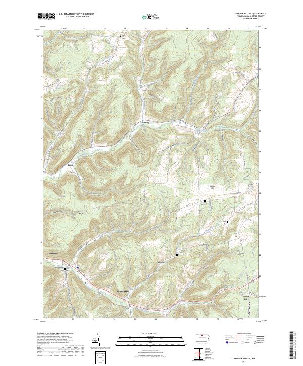
2023 Map of Sweden Valley
USGS Topo · Published 2023About this map
The Allegheny River headwaters wind through the deep valleys of central Potter County, forming the primary drainage for the small settlements of Colesburg and Frinks. This topography is defined by a dense network of named hollows, such as Lent Hollow, Haskell Hollow, and Kohler Hollow, which reveal the traditional land-division patterns of the region. Local history and genealogy are centered on numerous small burial grounds, including the Maple View Rest Home Cem near the eastern edge of Coudersport and the Sweden Hill Cem situated on the heights of Sweden Hill. These cemeteries, along with Taggart Cem and Corsaw Cem, serve as the primary markers of 19th and 20th-century family settlement across this upland landscape. The proximity of Sweden Valley to Denton Hill indicates the transition from agricultural valley bottoms to the more isolated high-elevation terrain near Sky Top.
Find a feature on this map
69 named features on this map. Tap any name to fly to it.
Don’t see what you’re looking for? This feature index may not catch every label — zoom into the map to look around manually.
Map Details
Editions of this 2023 Sweden Valley Map
This is the sole edition of this map. No revisions or reprints were ever made.
Historical Maps of Ice Mine Through Time
Featured Locations
- Allegany Township, PA
- Sweden Township, PA
- Hebron Township, PA
- Denton Hill, Sweden Township
- Colesburg, Allegany Township