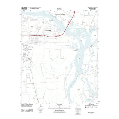
2011 Map of Sweet Home
USGS Topo · Published 2011About this map
Arkansas River oxbows and industrial history define this landscape south of North Little Rock and Little Rock. The area around Sweet Home is particularly dense with mineral history, showing a concentration of resource extraction including the Sweet Home Mine, Ratcliffe Mine, and Burks-Nelson Mine. This industrial footprint exists alongside long-standing community landmarks such as Westminster Church and the Sweet Home Post Office.
Find a feature on this map
121 named features on this map. Tap any name to fly to it.
Don’t see what you’re looking for? This feature index may not catch every label — zoom into the map to look around manually.
Map Details
Editions of this 2011 Sweet Home Map
This is the sole edition of this map. No revisions or reprints were ever made.
Other maps of this area

1891 · Little Rock
USGS Topo · 1:125,000

1893 · Little Rock
USGS Topo · 1:125,000

1935 · Mc Almont
USGS Topo · 1:24,000

1935 · Little Rock
USGS Topo · 1:24,000

1935 · Sweet Home
USGS Topo · 1:24,000

1935 · North Little Rock
USGS Topo · 1:24,000

1935 · Alexander
USGS Topo · 1:48,000

1939 · Keo
USGS Topo · 1:31,680

1940 · Woodson
USGS Topo · 1:31,680

1941 · Alexander
USGS Topo · 1:62,500