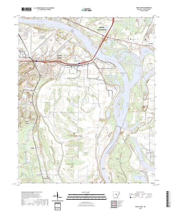
2024 Map of Sweet Home
USGS Topo · Published 2024About this map
The Arkansas River winds through this landscape, defining the industrial and logistical character of the region south of North Little Rock and Little Rock. The map reveals the extensive footprint of the Bill and Hillary Clinton National Airport/Adams Field tucked between Peach Orchard Bend and Fourche Creek. This area is characterized by a complex network of bayous and cut-offs, such as Willow Bar Cutoff and Old Channel Fourche Creek, which speak to the river's historical shifts and modern containment.
Find a feature on this map
86 named features on this map. Tap any name to fly to it.
Don’t see what you’re looking for? This feature index may not catch every label — zoom into the map to look around manually.
Map Details
Editions of this 2024 Sweet Home Map
This is the sole edition of this map. No revisions or reprints were ever made.
Other maps of this area

1891 · Little Rock
USGS Topo · 1:125,000

1893 · Little Rock
USGS Topo · 1:125,000

1935 · Mc Almont
USGS Topo · 1:24,000

1935 · Little Rock
USGS Topo · 1:24,000

1935 · Sweet Home
USGS Topo · 1:24,000

1935 · North Little Rock
USGS Topo · 1:24,000

1935 · Alexander
USGS Topo · 1:48,000

1939 · Keo
USGS Topo · 1:31,680

1940 · Woodson
USGS Topo · 1:31,680

1941 · Alexander
USGS Topo · 1:62,500
Featured Places
- Little Rock, AR
- North Little Rock, AR
- Wrightsville, AR
- College Station, Little Rock
- Baucum, North Little Rock