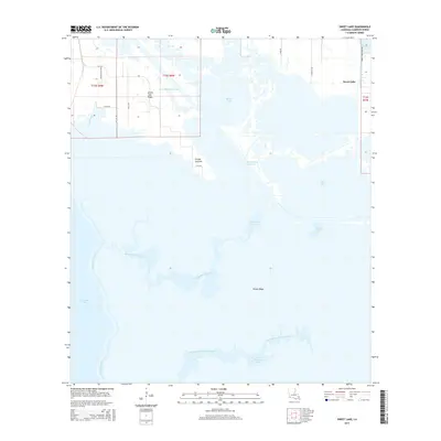
2015 Map of Sweet Lake
USGS Topo · Published 2015About this map
Intracoastal Waterway navigation and coastal wetlands define this Cameron Parish landscape as it appeared in the mid-2010s. The region is characterized by a complex network of brackish water bodies, including Willow Lake, Sweet Lake, and the eastern edge of Calcasieu Lake. Evidence of human engineering is prominent along the Lake Shore Canal and several rural access routes like Bazile Daigle Rd and T Mike Rd, which serve the small settlement at Grosse Savanne. Elevated terrain features such as Grand Lake Ridge and Pichot Ridge provide a glimpse into the natural topography that directed early settlement and movement through these marshes. To the south, the meandering North Prong of Grand Bayou and Broussard Lake illustrate the transition into deeper coastal basins, while smaller features like Mosquito Lake and Blind Lake highlight the fragmented nature of this water-dominated environment.
Find a feature on this map
25 named features on this map. Tap any name to fly to it.
Don’t see what you’re looking for? This feature index may not catch every label — zoom into the map to look around manually.
Map Details
Editions of this 2015 Sweet Lake Map
This is the sole edition of this map. No revisions or reprints were ever made.
Other maps of this area

1932 · Moss Lake
USGS Topo · 1:31,680

1932 · Lake Charles SW
USGS Topo · 1:31,680

1932 · Lake Charles SE
USGS Topo · 1:31,680

1934 · Cameron
USGS Topo · 1:24,000

1934 · Sweet Lake
USGS Topo · 1:24,000

1934 · Grand Bayou
USGS Topo · 1:24,000

1934 · Boudreaux Lake
USGS Topo · 1:24,000

1935 · Cameron
USGS Topo · 1:31,680

1935 · Sweet Lake
USGS Topo · 1:31,680

1935 · Hackberry
USGS Topo · 1:31,680