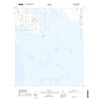
2018 Map of Sweet Lake
USGS Topo · Published 2018About this map
Sweet Lake and its surrounding wetlands define this portion of Cameron Parish, where a complex network of artificial and natural waterways sustains the coastal landscape. The Intracoastal Waterway cuts through the northern section, connecting Willow Lake to the broader regional shipping lanes, while the Lake Shore Canal and Sweet Lake Canal trace the boundaries of the expansive marsh. Higher ground is found along subtle elevations like Grand Lake Ridge and Pichot Ridge, which provide stable footing amidst the predominant wetlands and bayous.
Find a feature on this map
32 named features on this map. Tap any name to fly to it.
Don’t see what you’re looking for? This feature index may not catch every label — zoom into the map to look around manually.
Map Details
Editions of this 2018 Sweet Lake Map
This is the sole edition of this map. No revisions or reprints were ever made.
Other maps of this area

1932 · Moss Lake
USGS Topo · 1:31,680

1932 · Lake Charles SW
USGS Topo · 1:31,680

1932 · Lake Charles SE
USGS Topo · 1:31,680

1934 · Cameron
USGS Topo · 1:24,000

1934 · Sweet Lake
USGS Topo · 1:24,000

1934 · Grand Bayou
USGS Topo · 1:24,000

1934 · Boudreaux Lake
USGS Topo · 1:24,000

1935 · Cameron
USGS Topo · 1:31,680

1935 · Sweet Lake
USGS Topo · 1:31,680

1935 · Hackberry
USGS Topo · 1:31,680