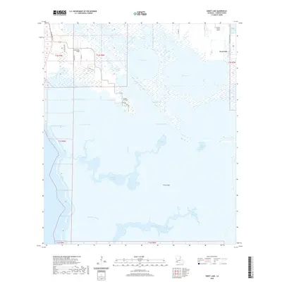
2020 Map of Sweet Lake
USGS Topo · Published 2020About this map
Willow Lake and Sweet Lake anchor this marshy landscape in Cameron Parish, where the complex hydrology of the Louisiana coast is on full display. The area is defined by an intricate network of man-made and natural waterways, including the Intracoastal Waterway and a series of numbered canals such as Number One Canal and Number Two Canal. These engineered routes slice through the wetland environment, connecting larger bodies like Calcasieu Lake and Mosquito Lake.
Find a feature on this map
33 named features on this map. Tap any name to fly to it.
Don’t see what you’re looking for? This feature index may not catch every label — zoom into the map to look around manually.
Map Details
Editions of this 2020 Sweet Lake Map
This is the sole edition of this map. No revisions or reprints were ever made.
Other maps of this area

1932 · Moss Lake
USGS Topo · 1:31,680

1932 · Lake Charles SW
USGS Topo · 1:31,680

1932 · Lake Charles SE
USGS Topo · 1:31,680

1934 · Cameron
USGS Topo · 1:24,000

1934 · Sweet Lake
USGS Topo · 1:24,000

1934 · Grand Bayou
USGS Topo · 1:24,000

1934 · Boudreaux Lake
USGS Topo · 1:24,000

1935 · Cameron
USGS Topo · 1:31,680

1935 · Sweet Lake
USGS Topo · 1:31,680

1935 · Hackberry
USGS Topo · 1:31,680