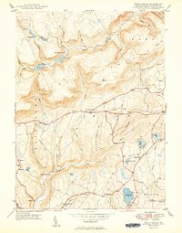
1949 Map of Sweet Valley
USGS Topo · Published 1949About this map
The mountain landscape of western Luzerne County is defined here by the headwaters of Huntington Creek and Shickshinny Creek. Settlement is concentrated in the southern valleys, where small community hubs like Sweet Valley and Kyttle support a network of rural institutions. Local education and faith are represented by numerous scattered landmarks, including Retreat School, Broadway School, and the Mooretown Ch.
Find a feature on this map
63 named features on this map. Tap any name to fly to it.
Don’t see what you’re looking for? This feature index may not catch every label — zoom into the map to look around manually.
Map Details
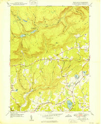
Editions of this 1949 Sweet Valley Map
2 editions found
Other maps of this area

1891 · Harveys Lake
USGS Topo · 1:62,500

1893 · Harvey Lake
USGS Topo · 1:62,500

1894 · Shickshinny
USGS Topo · 1:62,500

1894 · Bloomsburg
USGS Topo · 1:62,500

1934 · Laporte
USGS Topo · 1:62,500

1946 · Nanticoke
USGS Topo · 1:31,680

1946 · Shickshinny
USGS Topo · 1:31,680

1946 · Dutch Mtn
USGS Topo · 1:24,000

1946 · Harveys Lake
USGS Topo · 1:24,000

1946 · Noxen
USGS Topo · 1:24,000
Featured Places
- Hunlock Township, PA
- Prichard, Hunlock Township
- Lake Township, PA
- Sweet Valley, Ross Township
- Ripple, Fairmount Township