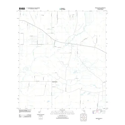
2012 Map of Sweetwater
USGS Topo · Published 2012About this map
Sweetwater anchors this agricultural landscape in Hardee County, where a complex network of seasonal drainage features defines the rural character. The map illustrates a region transitioning between managed ranching lands and natural wetlands, with Zolfo Springs Dairy and Grass Valley Ranch representing the primary industrial footprint of the early 21st century. The hydrology is dominated by the meandering Charlie Creek and its many tributaries, including Punch Gully and Mineral Branch. Small water bodies like Lake Florence dot the interior, while the southern reaches are marked by more elusive features such as Sand Gully. The road network, including family-named routes like Moffitt Rd and Gordon Rd, provides a clear view of the land parcels and rural development patterns during this era of Florida's interior history.
Find a feature on this map
52 named features on this map. Tap any name to fly to it.
Don’t see what you’re looking for? This feature index may not catch every label — zoom into the map to look around manually.
Map Details
Editions of this 2012 Sweetwater Map
This is the sole edition of this map. No revisions or reprints were ever made.
Other maps of this area

1953 · Avon Park
USGS Topo · 1:24,000

1953 · Crewsville SE
USGS Topo · 1:24,000

1953 · Crewsville
USGS Topo · 1:24,000

1955 · Wauchula
USGS Topo · 1:24,000

1956 · Gardner
USGS Topo · 1:24,000

1956 · Sweetwater
USGS Topo · 1:24,000

1956 · Zolfo Springs
USGS Topo · 1:24,000

1956 · Crewsville SW
USGS Topo · 1:24,000

1956 · Griffins Corner
USGS Topo · 1:24,000

1956 · Fort Pierce
USGS Topo · 1:250,000