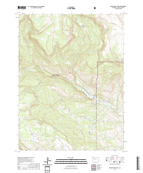
2022 Map of Sweetwater Lake
USGS Topo · Published 2022About this map
White River National Forest encompasses this high-elevation landscape, where the primary hydrology flows through the canyon-like descent of Sweetwater Creek. The basin is anchored by the prominent Sweetwater Lake, a significant water body situated along Sweetwater Rd. Evidence of the area's grazing and land-use history is visible at the Sweetwater Cow Camp near Cease Cr. The terrain is defined by dramatic elevation changes between Turret Peak in the north and the expansive Tenmile Park to the southwest.
Find a feature on this map
48 named features on this map. Tap any name to fly to it.
Don’t see what you’re looking for? This feature index may not catch every label — zoom into the map to look around manually.
Map Details
Editions of this 2022 Sweetwater Lake Map
This is the sole edition of this map. No revisions or reprints were ever made.
Other maps of this area

1927 · Glenwood Springs
USGS Topo · 1:125,000

1930 · Glenwood Springs
USGS Topo · 1:125,000

1957 · Leadville
USGS Topo · 1:250,000

1959 · Leadville
USGS Topo · 1:250,000

1960 · Leadville
USGS Topo · 1:250,000

1962 · Leadville
USGS Topo · 1:250,000

1964 · Leadville
USGS Topo · 1:250,000
1974 · Dotsero
USGS Topo · 1:24,000
1974 · Broken Rib Creek
USGS Topo · 1:24,000
1974 · Carbonate
USGS Topo · 1:24,000